MCZ Invertebrate Zoology OPH-3831

Ophiothela danae Verrill, 1869

Holotype of Ophiothela hadra

Date Collected:

1913-10-13

Pacific Ocean: Pacific, Western Central: Australia: Queensland | Torres Strait, Murray Island (Mer), western reef

Media type: image;   Invertebrate Zoology OPH-3831 Aspect: dorsal

(Media Record) (Related) (Full)

Shows Cataloged Item: MCZ:IZ:OPH-3831 Ophiothela danae Holotype Aspect: dors...

Media type: image;   Invertebrate Zoology OPH-3831 Aspect: labels

(Media Record) (Related) (Full)

Shows Cataloged Item: MCZ:IZ:OPH-3831 Ophiothela danae Holotype Aspect: labe...

Media type: image;   Invertebrate Zoology OPH-3831 Aspect: ventral

(Media Record) (Related) (Full)

Shows Cataloged Item: MCZ:IZ:OPH-3831 Ophiothela danae Holotype Aspect: vent...

Current Identification
Ophiothela danae Verrill, 1869 linked data icon
Animalia Echinodermata Ophiuroidea Ophiurida Ophiotrichidae
Determiner: [no agent data] on 2015-03-02
Nature of ID: revised taxonomy
Remarks: revised taxonomy fide WoRMS
Previous Identification
Ophiothela hadra H.L. Clark, 1915 linked data icon
Animalia Echinodermata Ophiuroidea Ophiurida Ophiotrichidae
Determiner: Hubert Lyman Clarklinked data icon in 1915
Nature of ID: type ID

Clark 1915, page 284, Holotype of Ophiothela hadra H.L. Clark, 1915 Plate 14 fig 2
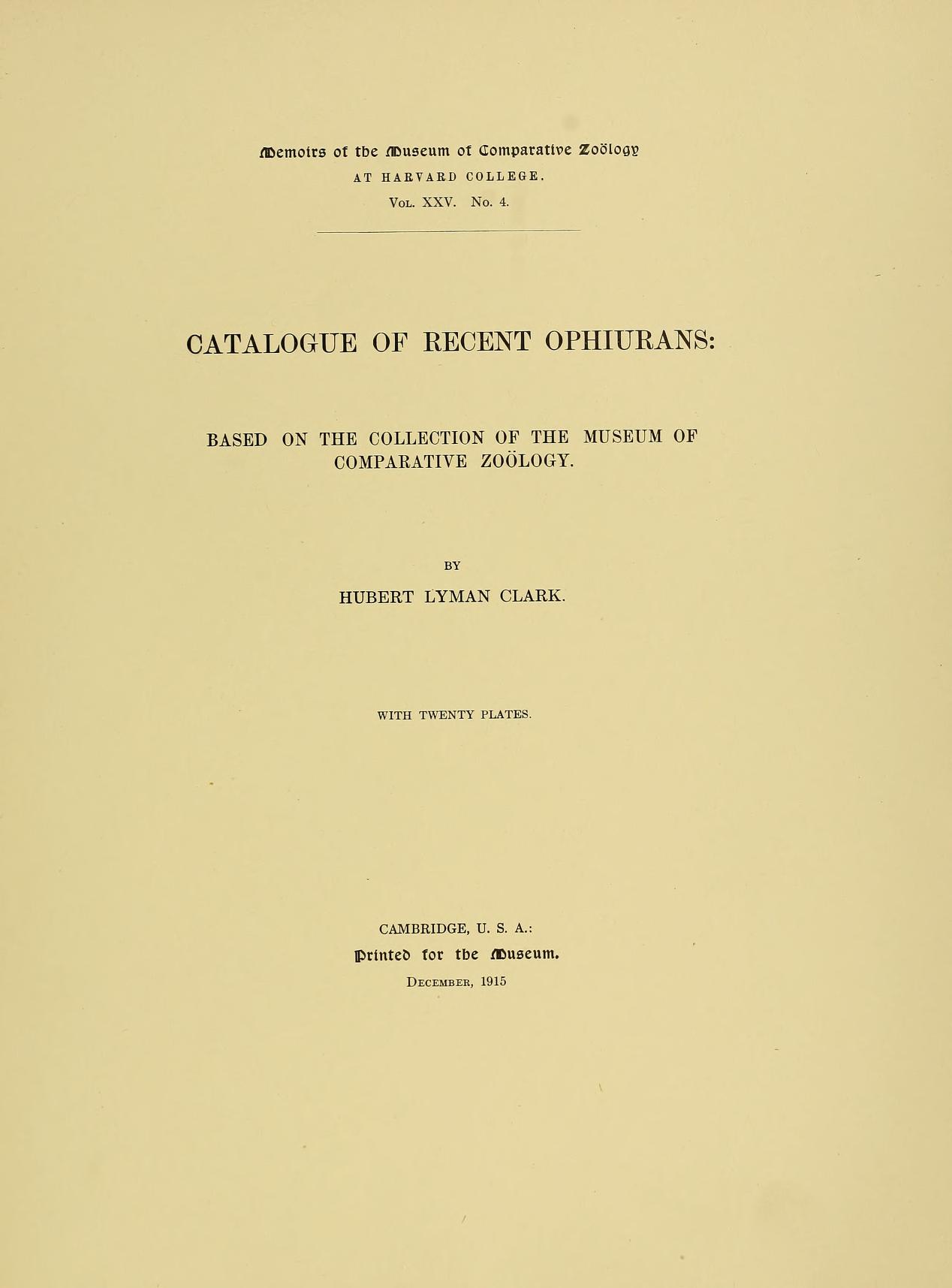
Media type: text; Clark 1915 Description: MCZ Memoirs Vol. XXV no. 4;

(Media Record) (Related) (File)

Shows Publication: Clark 1915 Description: MCZ Memoirs Vol. XXV no. 4

  • None

Part Condition Disposition Count
partial animal (dry) poor in collection 1 History (3)

  • None

  • None

  • "Original of Mr. Grosse's figure 69" per HLC

  • None

  • Ocean:
  • Pacific Ocean
  • Ocean Region:
  • Pacific, Western Central
  • Country:
  • Australia
  • State/Province:
  • Queensland
  • Specific Locality:
  • Torres Strait, Murray Island (Mer), western reef
  • Verbatim Locality:
  • Murray Ids: Mer, west reef
  • Depth:
  • 18 fms
  • Microhabitat:
  • on a Sponge
  • Georeference:
  • -9.9230660°, 144.039006° (Error radius: 736m) By: Penny Benson on 2020-12-09 (Source: GEOLocate)
  • Datum:
  • WGS84
  • Coordinates Entered As:
  • decimal degrees
  • Collecting Source:
  • wild caught
  • Collected On:
  • 1913-10-13
  • Verbatim Date:
  • October 13, 1913
  • Collectors:
  • Hubert Lyman Clarklinked data icon; Carnegie Expedition to the Torres Strait

  • None

  • None

  • [Masked]

  • None