MCZ Invertebrate Zoology 50236

Eudendrium cochleatum Allman, 1877

Syntype of Eudendrium cochleatum

Date Collected:

1868-01-01/1868-12-31

Atlantic Ocean: Atlantic, Northwest: United States: North Carolina | Cape Fear River

Media type: image;   Invertebrate Zoology 50236 Description: Preserved specimen.;

(Media Record) (Related) (Full)

Shows Cataloged Item: MCZ:IZ:50236 Eudendrium cochleatum Syntype Description...

Current Identification
Animalia Cnidaria Hydrozoa Hydroida Anthomedusae Eudendriidae
Determiner: George J. Allman in 1877
Nature of ID: type ID
Previous Identification
Eudendrium exiguum Allman, 1877
Animalia Cnidaria Hydrozoa Hydroida Anthomedusae Eudendriidae
Determiner: A. Marques in 1998
Nature of ID: expert ID

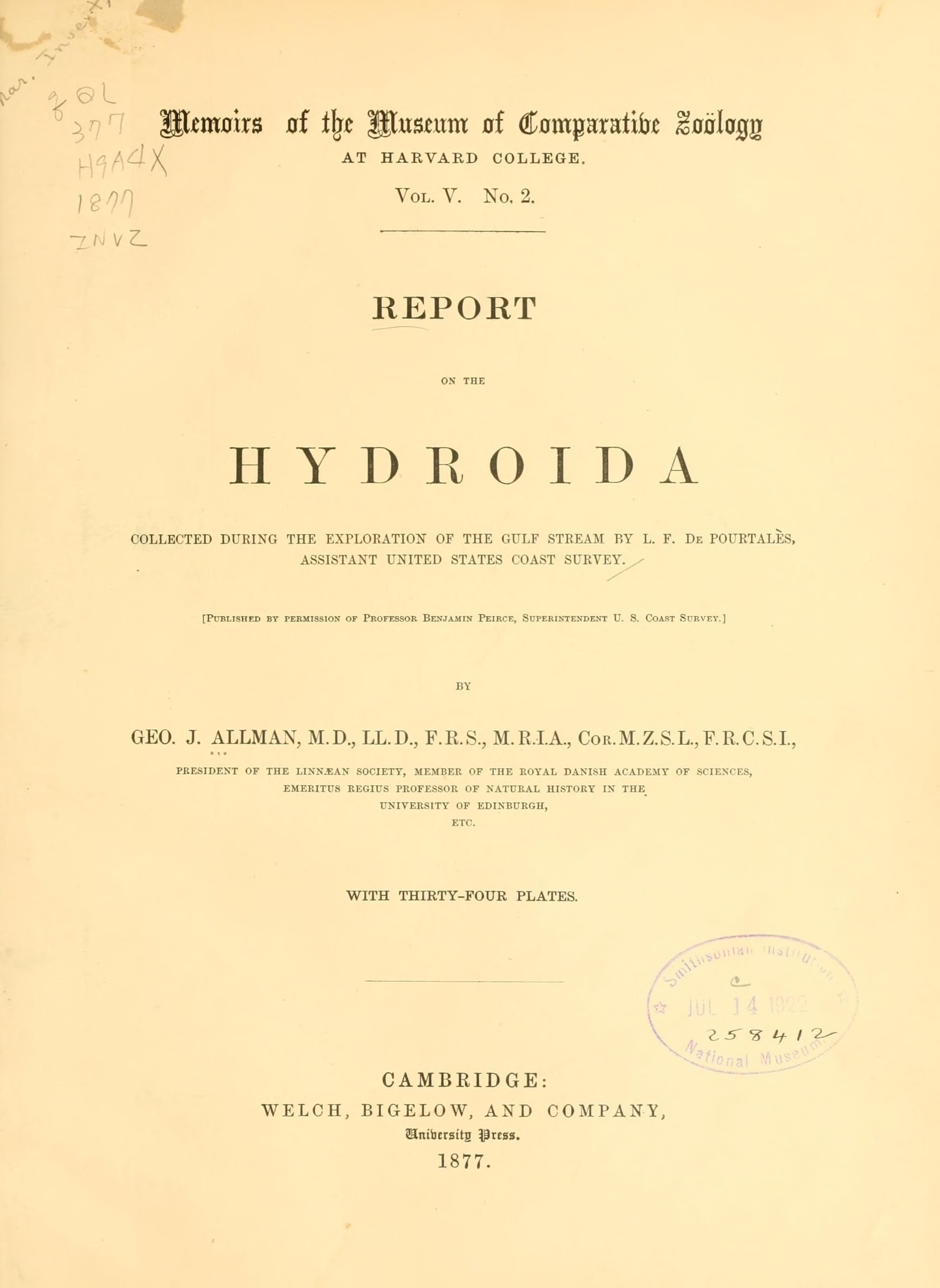
Allman 1877, page 8, Syntype of Eudendrium cochleatum Allman, 1877 Pl. V. Figs. 1, 2 - specimen catalogued as the type, is the same locality however Allman gives depth as 6 fms, label as 17 fms
Media type: text; Allman 1877 Description: MCZ Memoirs Vol. V no. 2;

(Media Record) (Related) (File)

Shows Publication: Allman 1877 Description: MCZ Memoirs Vol. V no. 2

  • None

Part Condition Disposition Count
tissue (95% ethanol) fair; fragments in collection 1 History
Remarks: tissue; sub-sampled as part of NSF CSBR Holotype grant; transferred to MCZ-CRYO on 2023-06-30
subsampled by = Nina Black   determined date=2023-06-27   determined by=Nina Black  
whole animal (70% ethanol) poor in collection 1 History

Attribute Value Determination On
associated grant Preserving the genomes of the type specimens in the MCZ (CSBR) By: Nina Black 2023-06-30

  • None

  • None

  • None

  • Ocean:
  • Atlantic Ocean
  • Ocean Region:
  • Atlantic, Northwest
  • Country:
  • United States
  • State/Province:
  • North Carolina
  • Specific Locality:
  • Cape Fear River
  • Verbatim Locality:
  • Off Cape Fear River, North Carolina
  • Depth:
  • 17 fms
  • Habitat Description:
  • inside fishing ground
  • Georeference:
  • 33.8854520°, -78.012767° (Error radius: 210m) By: Brendan Haley on 2019-06-10 (Source: GEOLocate batch georeferencing, 2019-06-10)
  • Datum:
  • WGS84
  • Coordinates Entered As:
  • decimal degrees
  • Collecting Source:
  • wild caught
  • Began Date / Ended Date:
  • 1868-01-01 / 1868-12-31
  • Verbatim Date:
  • 1868
  • Collectors:
  • Louis F. Pourtales; US Coast Survey, 1867-1871

  • None

  • None

  • [Masked]